
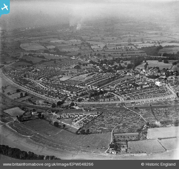
EPW048266 ENGLAND (1935). The residential area surrounding Portway and Springfield Avenue, Shirehampton, 1935
© Hawlfraint cyfranwyr OpenStreetMap a thrwyddedwyd gan yr OpenStreetMap Foundation. 2026. Trwyddedir y gartograffeg fel CC BY-SA.
Delweddau cyfagos (4)
EPW048266

EPW048264

EPW048267

EPW048265

Manylion
| Pennawd | [EPW048266] The residential area surrounding Portway and Springfield Avenue, Shirehampton, 1935 |
| Cyfeirnod | EPW048266 |
| Dyddiad | July-1935 |
| Dolen | |
| Enw lle | SHIREHAMPTON |
| Plwyf | |
| Ardal | |
| Gwlad | ENGLAND |
| Dwyreiniad / Gogleddiad | 352893, 176779 |
| Hydred / Lledred | -2.6785338919729, 51.487511400822 |
| Cyfeirnod Grid Cenedlaethol | ST529768 |
Pinnau

Donal Lucey |
Tuesday 4th of March 2025 05:11:35 PM | |
|
JH |
Friday 14th of November 2014 03:39:41 PM | |
|
NicTomkins |
Tuesday 30th of September 2014 08:35:20 PM | |
|
NicTomkins |
Tuesday 30th of September 2014 08:34:09 PM | |
|
NicTomkins |
Tuesday 30th of September 2014 08:33:30 PM |