
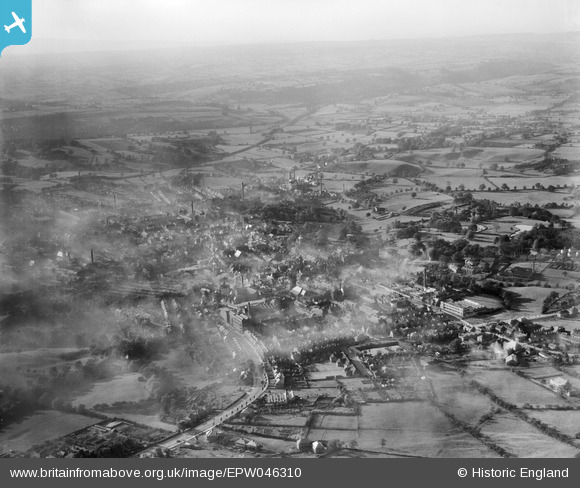
EPW046310 ENGLAND (1934). Ashbourne Road and the town, Leek, from the east, 1934
© Hawlfraint cyfranwyr OpenStreetMap a thrwyddedwyd gan yr OpenStreetMap Foundation. 2026. Trwyddedir y gartograffeg fel CC BY-SA.
Delweddau cyfagos (2)
EPW046310

EPW046306

Manylion
| Pennawd | [EPW046310] Ashbourne Road and the town, Leek, from the east, 1934 |
| Cyfeirnod | EPW046310 |
| Dyddiad | October-1934 |
| Dolen | |
| Enw lle | LEEK |
| Plwyf | LEEK |
| Ardal | |
| Gwlad | ENGLAND |
| Dwyreiniad / Gogleddiad | 399258, 356402 |
| Hydred / Lledred | -2.0110842634485, 53.104515776025 |
| Cyfeirnod Grid Cenedlaethol | SJ993564 |
Pinnau
Byddwch y cyntaf i ychwanegu sylw at y ddelwedd hon!