
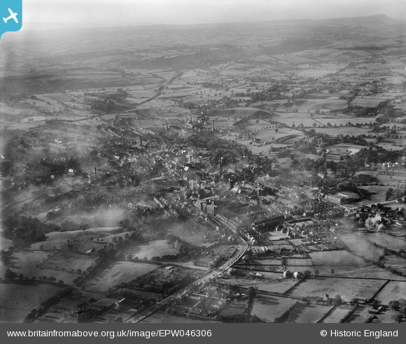
EPW046306 ENGLAND (1934). Ashbourne Road and the town, Leek, from the south-east, 1934
© Hawlfraint cyfranwyr OpenStreetMap a thrwyddedwyd gan yr OpenStreetMap Foundation. 2026. Trwyddedir y gartograffeg fel CC BY-SA.
Delweddau cyfagos (3)
EPW046306

EPW046310

EPW046307

Manylion
| Pennawd | [EPW046306] Ashbourne Road and the town, Leek, from the south-east, 1934 |
| Cyfeirnod | EPW046306 |
| Dyddiad | October-1934 |
| Dolen | |
| Enw lle | LEEK |
| Plwyf | LEEK |
| Ardal | |
| Gwlad | ENGLAND |
| Dwyreiniad / Gogleddiad | 399280, 356254 |
| Hydred / Lledred | -2.0107552876271, 53.103185277287 |
| Cyfeirnod Grid Cenedlaethol | SJ993563 |
Pinnau

bescotbeast |
Tuesday 18th of March 2014 07:23:44 PM |