
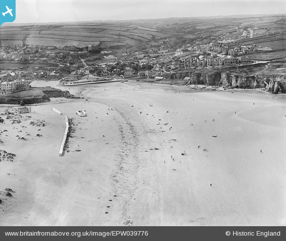
EPW039776 ENGLAND (1932). Perran Beach and the town, Perranporth, from the north, 1932
© Hawlfraint cyfranwyr OpenStreetMap a thrwyddedwyd gan yr OpenStreetMap Foundation. 2026. Trwyddedir y gartograffeg fel CC BY-SA.
Delweddau cyfagos (3)
EPW039776

EPW007156A

EPW039775

Manylion
| Pennawd | [EPW039776] Perran Beach and the town, Perranporth, from the north, 1932 |
| Cyfeirnod | EPW039776 |
| Dyddiad | August-1932 |
| Dolen | |
| Enw lle | PERRANPORTH |
| Plwyf | PERRANZABULOE |
| Ardal | |
| Gwlad | ENGLAND |
| Dwyreiniad / Gogleddiad | 175641, 54613 |
| Hydred / Lledred | -5.1539906597728, 50.34800726832 |
| Cyfeirnod Grid Cenedlaethol | SW756546 |
Pinnau
Byddwch y cyntaf i ychwanegu sylw at y ddelwedd hon!