
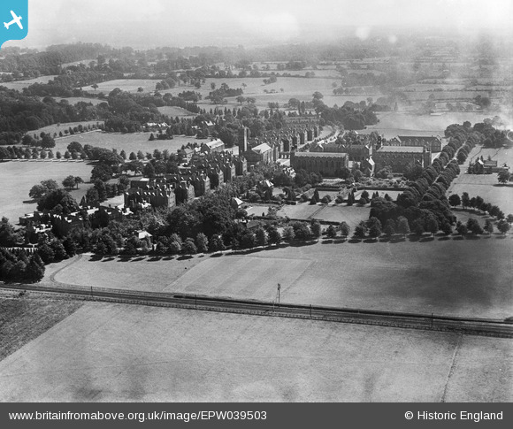
EPW039503 ENGLAND (1932). Christ's Hospital School and surrounding countryside, Southwater, from the west, 1932
© Hawlfraint cyfranwyr OpenStreetMap a thrwyddedwyd gan yr OpenStreetMap Foundation. 2026. Trwyddedir y gartograffeg fel CC BY-SA.
Delweddau cyfagos (4)
EPW039503

EPW024624

EPW024625

EAW037046

Manylion
| Pennawd | [EPW039503] Christ's Hospital School and surrounding countryside, Southwater, from the west, 1932 |
| Cyfeirnod | EPW039503 |
| Dyddiad | August-1932 |
| Dolen | |
| Enw lle | SOUTHWATER |
| Plwyf | SOUTHWATER |
| Ardal | |
| Gwlad | ENGLAND |
| Dwyreiniad / Gogleddiad | 514422, 128482 |
| Hydred / Lledred | -0.36761292456546, 51.043745771195 |
| Cyfeirnod Grid Cenedlaethol | TQ144285 |
Pinnau
Byddwch y cyntaf i ychwanegu sylw at y ddelwedd hon!