
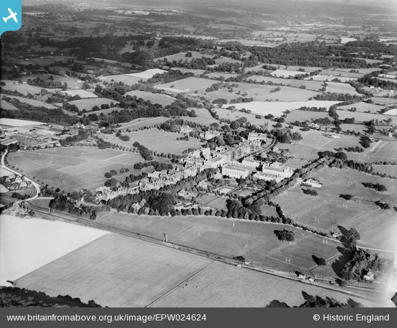
EPW024624 ENGLAND (1928). Christ's Hospital, Horsham, from the south-west, 1928
© Hawlfraint cyfranwyr OpenStreetMap a thrwyddedwyd gan yr OpenStreetMap Foundation. 2026. Trwyddedir y gartograffeg fel CC BY-SA.
Delweddau cyfagos (5)
EPW024624

EPW039503

EAW037046

EPW024625

EPW024620

Manylion
| Pennawd | [EPW024624] Christ's Hospital, Horsham, from the south-west, 1928 |
| Cyfeirnod | EPW024624 |
| Dyddiad | September-1928 |
| Dolen | |
| Enw lle | HORSHAM |
| Plwyf | SOUTHWATER |
| Ardal | |
| Gwlad | ENGLAND |
| Dwyreiniad / Gogleddiad | 514536, 128445 |
| Hydred / Lledred | -0.36599896977676, 51.043390435787 |
| Cyfeirnod Grid Cenedlaethol | TQ145284 |
Pinnau

Dan Gregory |
Thursday 7th of January 2021 05:50:14 PM | |
|
Dan Gregory |
Thursday 7th of January 2021 05:49:29 PM | |
|
Dan Gregory |
Thursday 7th of January 2021 05:48:49 PM | |
|
Dan Gregory |
Thursday 7th of January 2021 05:47:23 PM | |
|
Dan Gregory |
Thursday 7th of January 2021 05:46:37 PM | |
|
Dan Gregory |
Thursday 7th of January 2021 05:46:01 PM | |
|
Dan Gregory |
Thursday 7th of January 2021 05:45:32 PM | |
|
Dan Gregory |
Thursday 7th of January 2021 05:44:59 PM | |
|
Dan Gregory |
Thursday 7th of January 2021 05:44:13 PM | |
|
Biggles1951 |
Thursday 12th of December 2013 05:33:42 PM |