
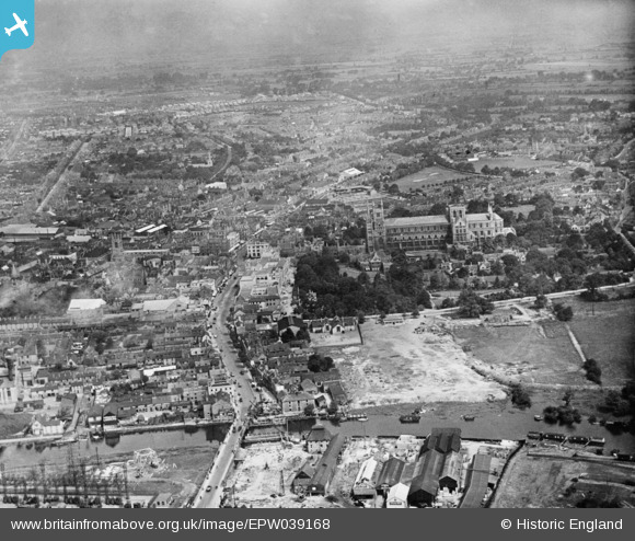
EPW039168 ENGLAND (1932). The Cathedral Church of St Peter, St Paul and St Andrew and the city centre, Peterborough, from the south, 1932. This image has been produced from a copy-negative.
© Hawlfraint cyfranwyr OpenStreetMap a thrwyddedwyd gan yr OpenStreetMap Foundation. 2026. Trwyddedir y gartograffeg fel CC BY-SA.
Delweddau cyfagos (25)
EPW039168

EPW044922

EPW044920

EPW044918

EPW044919

EPW044910

EPW044921

EPW050306

EPW044905

EAW005690

EPW044906

EPW036807

EPW036803

EPW036796

EPW036795

EPW036794

EAW009524

EPW036799

EPW036801

EPW036806

EPW036793

EPW036805

EPW036804

EPW036809

EPW036800

Manylion
| Pennawd | [EPW039168] The Cathedral Church of St Peter, St Paul and St Andrew and the city centre, Peterborough, from the south, 1932. This image has been produced from a copy-negative. |
| Cyfeirnod | EPW039168 |
| Dyddiad | July-1932 |
| Dolen | |
| Enw lle | PETERBOROUGH |
| Plwyf | |
| Ardal | |
| Gwlad | ENGLAND |
| Dwyreiniad / Gogleddiad | 519314, 298302 |
| Hydred / Lledred | -0.2393579514501, 52.569080866577 |
| Cyfeirnod Grid Cenedlaethol | TL193983 |
Pinnau
Byddwch y cyntaf i ychwanegu sylw at y ddelwedd hon!