
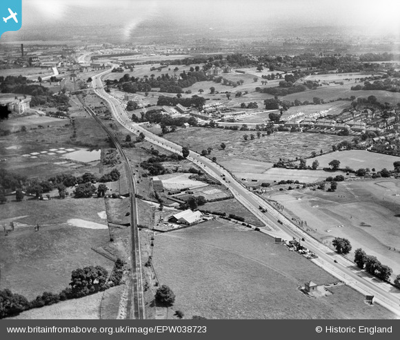
EPW038723 ENGLAND (1932). Western Avenue and Hanger Hill Park, Perivale, from the north-west, 1932
© Hawlfraint cyfranwyr OpenStreetMap a thrwyddedwyd gan yr OpenStreetMap Foundation. 2026. Trwyddedir y gartograffeg fel CC BY-SA.
Delweddau cyfagos (6)
EPW038723

EPW035535

EPW035536

EPW035291

EPW040779

EAW007188

Manylion
| Pennawd | [EPW038723] Western Avenue and Hanger Hill Park, Perivale, from the north-west, 1932 |
| Cyfeirnod | EPW038723 |
| Dyddiad | June-1932 |
| Dolen | |
| Enw lle | PERIVALE |
| Plwyf | |
| Ardal | |
| Gwlad | ENGLAND |
| Dwyreiniad / Gogleddiad | 517349, 182873 |
| Hydred / Lledred | -0.30799703001409, 51.532073207058 |
| Cyfeirnod Grid Cenedlaethol | TQ173829 |
