
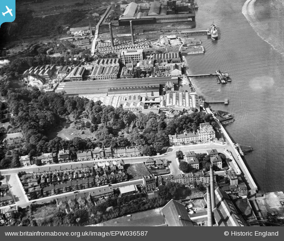
EPW036587 ENGLAND (1931). W.T. Henley's Electric Cable Works and Rosherville Gardens, Gravesend, 1931
© Hawlfraint cyfranwyr OpenStreetMap a thrwyddedwyd gan yr OpenStreetMap Foundation. 2026. Trwyddedir y gartograffeg fel CC BY-SA.
Delweddau cyfagos (27)
EPW036587

EAW028720

EAW028717

EAW031124

EAW031125

EAW028719

EAW031126

EAW028716

EAW031123

EAW031129

EPW036578

EAW031128

EAW031127

EAW028718

EAW031131

EPW036582

EAW031132

EPW036577

EAW042093

EAW031130

EPW036580

EPW032816

EPW036576

EPW032817

EPW032818

EPW036581

EPW017660

Manylion
| Pennawd | [EPW036587] W.T. Henley's Electric Cable Works and Rosherville Gardens, Gravesend, 1931 |
| Cyfeirnod | EPW036587 |
| Dyddiad | September-1931 |
| Dolen | |
| Enw lle | GRAVESEND |
| Plwyf | |
| Ardal | |
| Gwlad | ENGLAND |
| Dwyreiniad / Gogleddiad | 563558, 174353 |
| Hydred / Lledred | 0.35380232697942, 51.44402688298 |
| Cyfeirnod Grid Cenedlaethol | TQ636744 |
Pinnau

Kentishman |
Monday 14th of May 2018 09:58:11 PM | |
|
jason |
Thursday 31st of December 2015 07:05:43 PM | |
|
jason |
Thursday 31st of December 2015 07:03:19 PM | |
|
jason |
Thursday 31st of December 2015 07:02:43 PM | |

Dylan Moore |
Monday 17th of June 2013 06:04:14 PM | |
|
Dylan Moore |
Monday 17th of June 2013 06:03:52 PM | |
|
Dylan Moore |
Monday 17th of June 2013 06:03:23 PM |