
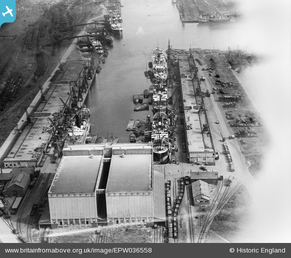
EPW036558 ENGLAND (1931). Grain silo and warehouses at the west end of King George Dock, Kingston upon Hull, 1931
© Hawlfraint cyfranwyr OpenStreetMap a thrwyddedwyd gan yr OpenStreetMap Foundation. 2026. Trwyddedir y gartograffeg fel CC BY-SA.
Delweddau cyfagos (10)
EPW036558

EAW046140

EPW010819

EPW036418

EAW183440

EPW036389

EPW036530

EPW055043

EAW004509

EAW004510

Manylion
| Pennawd | [EPW036558] Grain silo and warehouses at the west end of King George Dock, Kingston upon Hull, 1931 |
| Cyfeirnod | EPW036558 |
| Dyddiad | August-1931 |
| Dolen | |
| Enw lle | KINGSTON UPON HULL |
| Plwyf | |
| Ardal | |
| Gwlad | ENGLAND |
| Dwyreiniad / Gogleddiad | 513959, 428971 |
| Hydred / Lledred | -0.27180461151664, 53.744420542265 |
| Cyfeirnod Grid Cenedlaethol | TA140290 |
Pinnau
Byddwch y cyntaf i ychwanegu sylw at y ddelwedd hon!