
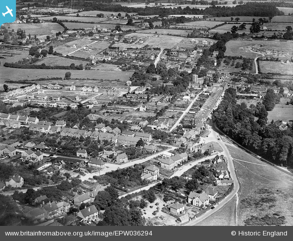
EPW036294 ENGLAND (1931). Nicol Road and the town centre, Chalfont St Peter, 1931
© Hawlfraint cyfranwyr OpenStreetMap a thrwyddedwyd gan yr OpenStreetMap Foundation. 2026. Trwyddedir y gartograffeg fel CC BY-SA.
Delweddau cyfagos (7)
EPW036294

EPW036297

EPW036298

EPR000398
, Chalfont St Peter, 1934. This image was marked by Aero Pictorial Ltd for photo editing.")
EPW036295

EPR000166
, Chalfont St Peter, 1934")
EPR000397
, Chalfont St Peter, 1934. This image was marked by Aero Pictorial Ltd for photo editing.")
Manylion
| Pennawd | [EPW036294] Nicol Road and the town centre, Chalfont St Peter, 1931 |
| Cyfeirnod | EPW036294 |
| Dyddiad | August-1931 |
| Dolen | |
| Enw lle | CHALFONT ST PETER |
| Plwyf | CHALFONT ST. PETER |
| Ardal | |
| Gwlad | ENGLAND |
| Dwyreiniad / Gogleddiad | 499855, 190827 |
| Hydred / Lledred | -0.55788086276647, 51.606942079168 |
| Cyfeirnod Grid Cenedlaethol | SU999908 |
Pinnau

E |
Saturday 6th of June 2026 11:00:49 PM | |
|
Walker |
Tuesday 23rd of June 2015 12:51:21 PM | |
|
Bunn72 |
Wednesday 5th of February 2014 01:01:29 PM | |
|
Bunn72 |
Wednesday 5th of February 2014 01:00:11 PM | |
|
Bunn72 |
Wednesday 5th of February 2014 12:59:49 PM | |
|
Bunn72 |
Wednesday 5th of February 2014 12:59:27 PM | |
Lynda Tubbs |
Wednesday 5th of February 2014 11:21:46 AM | |
Lynda Tubbs |
Wednesday 5th of February 2014 11:17:03 AM |