
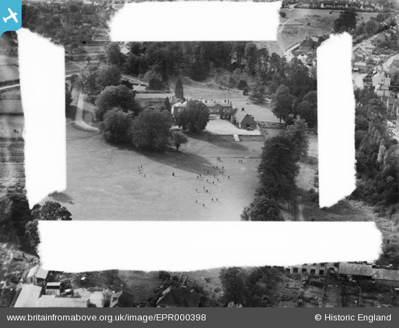
EPR000398 ENGLAND (1934). Holy Cross Convent (The Grange), Chalfont St Peter, 1934. This image was marked by Aero Pictorial Ltd for photo editing.
© Hawlfraint cyfranwyr OpenStreetMap a thrwyddedwyd gan yr OpenStreetMap Foundation. 2026. Trwyddedir y gartograffeg fel CC BY-SA.
Delweddau cyfagos (13)
EPR000398
, Chalfont St Peter, 1934. This image was marked by Aero Pictorial Ltd for photo editing.")
EPR000397
, Chalfont St Peter, 1934. This image was marked by Aero Pictorial Ltd for photo editing.")
EPR000166
, Chalfont St Peter, 1934")
EPR000399
, Chalfont St Peter, 1934. This image was marked by Aero Pictorial Ltd for photo editing.")
EPR000165
, Chalfont St Peter, 1934")
EPR000168
 and environs, Chalfont St Peter, 1934")
EPR000167
 and environs, Chalfont St Peter, 1934")
EPR000164
, Chalfont St Peter, 1934")
EPW036294

EPW036298

EPW036295

EPW036297

EPW036296

Manylion
| Pennawd | [EPR000398] Holy Cross Convent (The Grange), Chalfont St Peter, 1934. This image was marked by Aero Pictorial Ltd for photo editing. |
| Cyfeirnod | EPR000398 |
| Dyddiad | 10-October-1934 |
| Dolen | |
| Enw lle | CHALFONT ST PETER |
| Plwyf | CHALFONT ST. PETER |
| Ardal | |
| Gwlad | ENGLAND |
| Dwyreiniad / Gogleddiad | 499897, 190631 |
| Hydred / Lledred | -0.55733035470396, 51.605172687633 |
| Cyfeirnod Grid Cenedlaethol | SU999906 |
Pinnau
Byddwch y cyntaf i ychwanegu sylw at y ddelwedd hon!