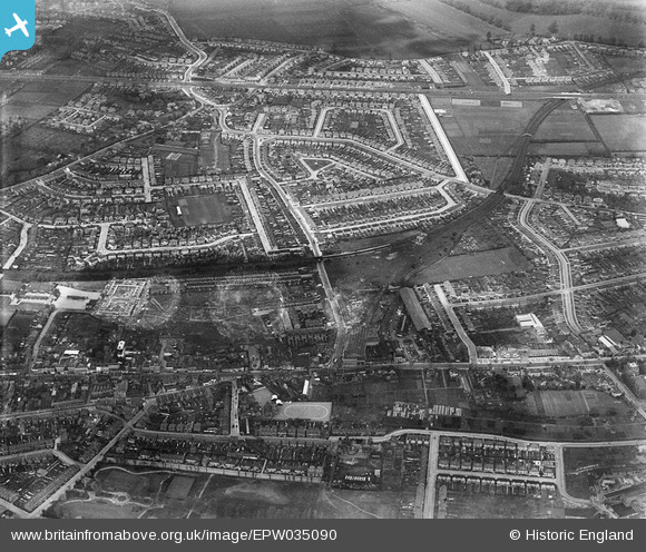
EPW035090 ENGLAND (1931). Kingsley Road and environs, Lampton, 1931
    © Hawlfraint cyfranwyr OpenStreetMap a thrwyddedwyd gan yr OpenStreetMap Foundation. 2025. Trwyddedir y gartograffeg fel CC BY-SA.
  
Manylion
| Pennawd | [EPW035090] Kingsley Road and environs, Lampton, 1931 | 
| Cyfeirnod | EPW035090 | 
| Dyddiad | May-1931 | 
| Dolen | |
| Enw lle | LAMPTON | 
| Plwyf | |
| Ardal | |
| Gwlad | ENGLAND | 
| Dwyreiniad / Gogleddiad | 514232, 176181 | 
| Hydred / Lledred | -0.35508706877277, 51.47255962603 | 
| Cyfeirnod Grid Cenedlaethol | TQ142762 | 
Pinnau
Byddwch y cyntaf i ychwanegu sylw at y ddelwedd hon!
 
             
  ![[EPW035090] Kingsley Road and environs, Lampton, 1931](http://britainfromabove.org.uk/sites/all/libraries/aerofilms-images/public/100x100/EPW/035/EPW035090.jpg) 
  
                                          ![[EPW035076] Residential development along the District and Piccadilly Lines, Lampton, 1931](http://britainfromabove.org.uk/sites/all/libraries/aerofilms-images/public/100x100/EPW/035/EPW035076.jpg) 
 ![[EPW031668] Hounslow East Railway Station and environs, Hounslow, from the south-east, 1930](http://britainfromabove.org.uk/sites/all/libraries/aerofilms-images/public/100x100/EPW/031/EPW031668.jpg) 
 ![[EPW023232] High Street and surroundings, Housnlow, from the north-east, 1928. This image has been affected by flare.](http://britainfromabove.org.uk/sites/all/libraries/aerofilms-images/public/100x100/EPW/023/EPW023232.jpg)