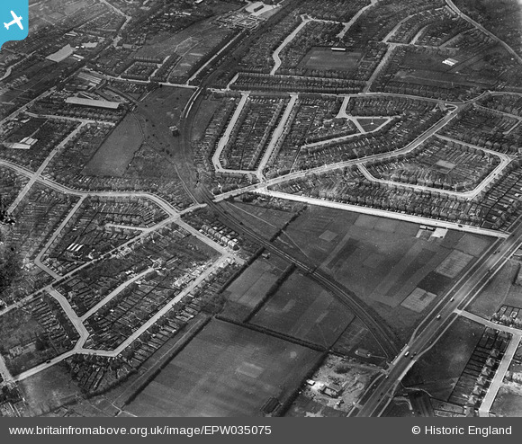
EPW035075 ENGLAND (1931). Spring Grove Road and environs, Spring Grove, 1931
    © Hawlfraint cyfranwyr OpenStreetMap a thrwyddedwyd gan yr OpenStreetMap Foundation. 2025. Trwyddedir y gartograffeg fel CC BY-SA.
  
Manylion
| Pennawd | [EPW035075] Spring Grove Road and environs, Spring Grove, 1931 | 
| Cyfeirnod | EPW035075 | 
| Dyddiad | May-1931 | 
| Dolen | |
| Enw lle | OSTERLEY | 
| Plwyf | |
| Ardal | |
| Gwlad | ENGLAND | 
| Dwyreiniad / Gogleddiad | 514407, 176587 | 
| Hydred / Lledred | -0.35243673337811, 51.476173722602 | 
| Cyfeirnod Grid Cenedlaethol | TQ144766 | 
Pinnau
|  Hounslow Town Football Club, Denbeigh Road |   Isleworthian | Monday 21st of October 2013 05:16:43 PM | 
|  Railway electrical substation |   Isleworth1961 | Saturday 8th of June 2013 09:27:43 PM | 
|  Site of the yet to be built second Osterley station. The original station is out of shot, but remarkably it's main building in Thornbury Road still exists, as do the platforms, but not the platform buildings. |   Isleworth1961 | Saturday 8th of June 2013 09:19:37 PM | 
|  Hounslow East station, District Railway. Opened as Hounslow Town in 1909 (immediately after the old Hounslow Town station closed), and renamed Hounslow East in 1925. |   Isleworth1961 | Saturday 8th of June 2013 09:15:15 PM | 
|  The extremely tight curve of the track that existed between Hounslow Town station and Heston Hounslow station (later Hounslow Central) can just be discerned here. It was only in existence from 1905 to 1909. |   Isleworth1961 | Saturday 8th of June 2013 09:12:30 PM | 
|  Viaduct of closed Hounslow Town branch of the District Railway. |   Isleworth1961 | Saturday 8th of June 2013 09:08:50 PM | 
|  Hounslow Bus Garage, built on site of the District Railway's Hounslow Town station which closed (for the second and final time) in 1909. Hounslow Bus Station was later built on the corner site. |   Isleworth1961 | Saturday 8th of June 2013 09:07:45 PM | 
|  Indian Gymkhana Club |   Isleworthian | Saturday 2nd of February 2013 11:13:39 AM | 
 
             
  ![[EPW035075] Spring Grove Road and environs, Spring Grove, 1931](http://britainfromabove.org.uk/sites/all/libraries/aerofilms-images/public/100x100/EPW/035/EPW035075.jpg) 
  
                                          ![[EPW035091] Thie District and Piccadilly Lines and surrounding residential development, Lampton, 1931](http://britainfromabove.org.uk/sites/all/libraries/aerofilms-images/public/100x100/EPW/035/EPW035091.jpg) 
 ![[EPW035076] Residential development along the District and Piccadilly Lines, Lampton, 1931](http://britainfromabove.org.uk/sites/all/libraries/aerofilms-images/public/100x100/EPW/035/EPW035076.jpg)