
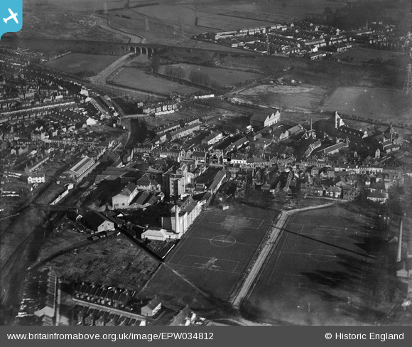
EPW034812 ENGLAND (1931). Benskins Brewery and environs, Watford, 1931
© Hawlfraint cyfranwyr OpenStreetMap a thrwyddedwyd gan yr OpenStreetMap Foundation. 2026. Trwyddedir y gartograffeg fel CC BY-SA.
Delweddau cyfagos (22)
EPW034812

EAW026503

EPW035164

EPW035166

EPW035129

EPW035167

EPW035165

EPW034814

EPW034808

EPW034811

EPW034809

EPW034779

EPW035163

EPW034807

EPW034781

EPW034810

EPW035168

EPW034813

EPW034780

EAW022727

EAW026504

EAW002186

Manylion
| Pennawd | [EPW034812] Benskins Brewery and environs, Watford, 1931 |
| Cyfeirnod | EPW034812 |
| Dyddiad | 27-January-1931 |
| Dolen | |
| Enw lle | WATFORD |
| Plwyf | |
| Ardal | |
| Gwlad | ENGLAND |
| Dwyreiniad / Gogleddiad | 511424, 196042 |
| Hydred / Lledred | -0.38920740157196, 51.651647621443 |
| Cyfeirnod Grid Cenedlaethol | TQ114960 |
Pinnau

The Laird |
Thursday 17th of September 2015 11:28:10 AM |