
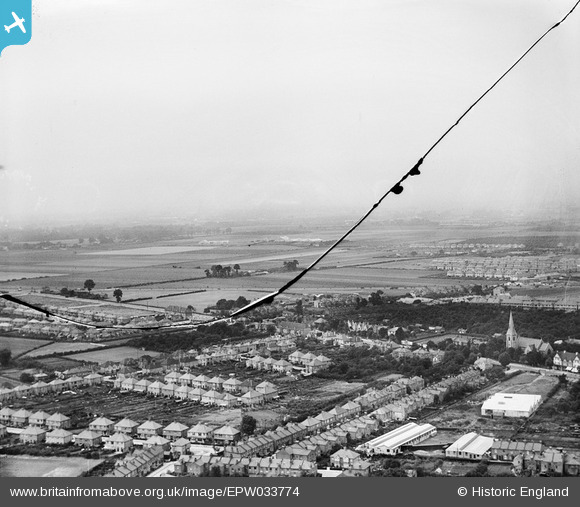
EPW033774 ENGLAND (1930). Houses and St Paul's Church with Heston Air Park in the distance, Hounslow West, from the south-east, 1930. This image has been produced from a damaged negative
© Hawlfraint cyfranwyr OpenStreetMap a thrwyddedwyd gan yr OpenStreetMap Foundation. 2026. Trwyddedir y gartograffeg fel CC BY-SA.
Delweddau cyfagos (14)
EPW033774

EPW016529

EPW016527

EPW037519

EPW037334

EPW037517

EPW037518

EPW037332

EPW037296

EPW016528

EPW035093

EPW037294

EPW017168

EPW035079

Manylion
| Pennawd | [EPW033774] Houses and St Paul's Church with Heston Air Park in the distance, Hounslow West, from the south-east, 1930. This image has been produced from a damaged negative |
| Cyfeirnod | EPW033774 |
| Dyddiad | July-1930 |
| Dolen | |
| Enw lle | HOUNSLOW WEST |
| Plwyf | |
| Ardal | |
| Gwlad | ENGLAND |
| Dwyreiniad / Gogleddiad | 512288, 176063 |
| Hydred / Lledred | -0.38310561098997, 51.4718881626 |
| Cyfeirnod Grid Cenedlaethol | TQ123761 |
Pinnau

Isleworth1961 |
Sunday 16th of December 2012 11:58:58 PM | |
|
longshot |
Thursday 13th of December 2012 10:46:13 PM | |
|
longshot |
Thursday 13th of December 2012 10:44:19 PM | |
|
longshot |
Thursday 13th of December 2012 10:42:44 PM | |
|
longshot |
Thursday 13th of December 2012 10:41:17 PM | |
|
longshot |
Thursday 13th of December 2012 10:39:54 PM | |
|
longshot |
Thursday 13th of December 2012 10:36:57 PM | |
|
longshot |
Thursday 13th of December 2012 10:33:33 PM |