
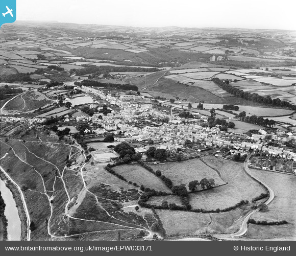
EPW033171 ENGLAND (1930). The town, Great Torrington, from the south-east, 1930
© Hawlfraint cyfranwyr OpenStreetMap a thrwyddedwyd gan yr OpenStreetMap Foundation. 2026. Trwyddedir y gartograffeg fel CC BY-SA.
Delweddau cyfagos (5)
EPW033171

EPW033168

EPW054812

EPW054811

EPW054813

Manylion
| Pennawd | [EPW033171] The town, Great Torrington, from the south-east, 1930 |
| Cyfeirnod | EPW033171 |
| Dyddiad | July-1930 |
| Dolen | |
| Enw lle | GREAT TORRINGTON |
| Plwyf | GREAT TORRINGTON |
| Ardal | |
| Gwlad | ENGLAND |
| Dwyreiniad / Gogleddiad | 249759, 118967 |
| Hydred / Lledred | -4.1391208706189, 50.949983291347 |
| Cyfeirnod Grid Cenedlaethol | SS498190 |
Pinnau

Donal Lucey |
Tuesday 4th of March 2025 05:59:13 PM | |
|
Donal Lucey |
Tuesday 4th of March 2025 05:58:45 PM | |

Class31 |
Wednesday 20th of March 2013 03:52:50 PM | |
|
Class31 |
Wednesday 20th of March 2013 03:51:40 PM | |
|
Class31 |
Wednesday 20th of March 2013 03:50:52 PM | |
|
Class31 |
Wednesday 20th of March 2013 03:48:09 PM | |
|
Class31 |
Wednesday 20th of March 2013 03:47:22 PM | |
|
Class31 |
Monday 18th of March 2013 10:49:00 PM | |
|
Class31 |
Monday 18th of March 2013 10:47:36 PM |