
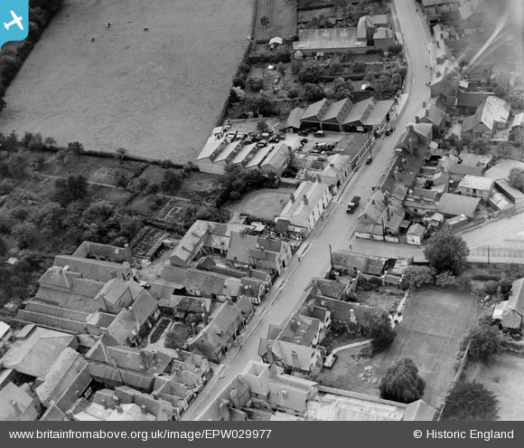
EPW029977 ENGLAND (1929). New Street, Ledbury, 1929
© Hawlfraint cyfranwyr OpenStreetMap a thrwyddedwyd gan yr OpenStreetMap Foundation. 2026. Trwyddedir y gartograffeg fel CC BY-SA.
Delweddau cyfagos (5)
EPW029977

EPW006030

EPW029972

EPW006031

EPW029974

Manylion
| Pennawd | [EPW029977] New Street, Ledbury, 1929 |
| Cyfeirnod | EPW029977 |
| Dyddiad | September-1929 |
| Dolen | |
| Enw lle | LEDBURY |
| Plwyf | LEDBURY |
| Ardal | |
| Gwlad | ENGLAND |
| Dwyreiniad / Gogleddiad | 371000, 237507 |
| Hydred / Lledred | -2.422798619044, 52.034788147799 |
| Cyfeirnod Grid Cenedlaethol | SO710375 |
Pinnau

MB |
Sunday 24th of January 2021 08:52:22 PM |