
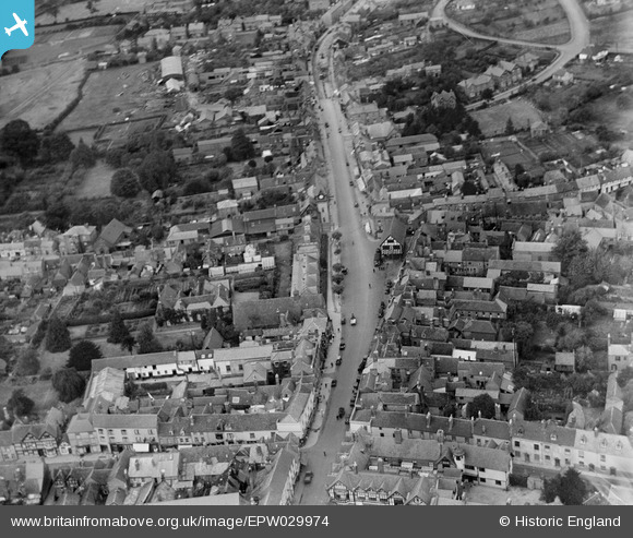
EPW029974 ENGLAND (1929). The High Street, Ledbury, 1929
© Hawlfraint cyfranwyr OpenStreetMap a thrwyddedwyd gan yr OpenStreetMap Foundation. 2026. Trwyddedir y gartograffeg fel CC BY-SA.
Delweddau cyfagos (7)
EPW029974

EPW029972

EPW006031

EPW029968

EPW029973

EPW029977

EPW006030

Manylion
| Pennawd | [EPW029974] The High Street, Ledbury, 1929 |
| Cyfeirnod | EPW029974 |
| Dyddiad | September-1929 |
| Dolen | |
| Enw lle | LEDBURY |
| Plwyf | LEDBURY |
| Ardal | |
| Gwlad | ENGLAND |
| Dwyreiniad / Gogleddiad | 371074, 237700 |
| Hydred / Lledred | -2.4217361138701, 52.036527362137 |
| Cyfeirnod Grid Cenedlaethol | SO711377 |
