
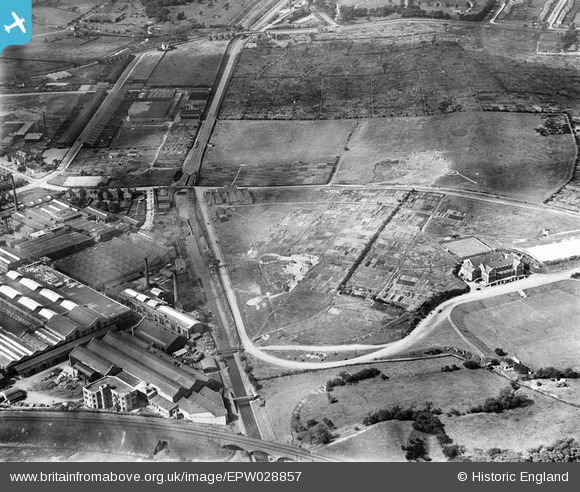
EPW028857 ENGLAND (1929). The General Electric Company Works and adjacent allotments, Witton, 1929
© Hawlfraint cyfranwyr OpenStreetMap a thrwyddedwyd gan yr OpenStreetMap Foundation. 2026. Trwyddedir y gartograffeg fel CC BY-SA.
Delweddau cyfagos (10)
EPW028857

EPW028861

EPW028862

EPW028856

EPW028859

EPW028860

EPW028858

EAW045934

EPW005708

EPW009731

Manylion
| Pennawd | [EPW028857] The General Electric Company Works and adjacent allotments, Witton, 1929 |
| Cyfeirnod | EPW028857 |
| Dyddiad | 30-August-1929 |
| Dolen | |
| Enw lle | WITTON |
| Plwyf | |
| Ardal | |
| Gwlad | ENGLAND |
| Dwyreiniad / Gogleddiad | 408937, 290740 |
| Hydred / Lledred | -1.8682922834262, 52.514108342147 |
| Cyfeirnod Grid Cenedlaethol | SP089907 |
Pinnau
Byddwch y cyntaf i ychwanegu sylw at y ddelwedd hon!