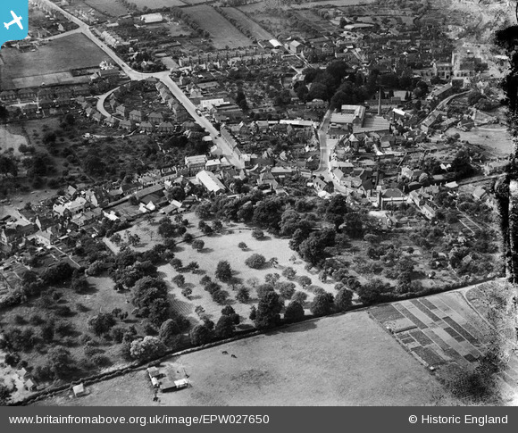
EPW027650 ENGLAND (1929). Haynes Road and the town centre, Westbury, 1929
© Hawlfraint cyfranwyr OpenStreetMap a thrwyddedwyd gan yr OpenStreetMap Foundation. 2026. Trwyddedir y gartograffeg fel CC BY-SA.
Manylion
| Pennawd | [EPW027650] Haynes Road and the town centre, Westbury, 1929 |
| Cyfeirnod | EPW027650 |
| Dyddiad | 21-June-1929 |
| Dolen | |
| Enw lle | WESTBURY |
| Plwyf | WESTBURY |
| Ardal | |
| Gwlad | ENGLAND |
| Dwyreiniad / Gogleddiad | 387323, 151038 |
| Hydred / Lledred | -2.1816885832716, 51.257852041865 |
| Cyfeirnod Grid Cenedlaethol | ST873510 |
Pinnau

Class31 |
Thursday 24th of January 2013 09:13:34 PM | |

Class31 |
Thursday 24th of January 2013 09:11:10 PM | |

Class31 |
Saturday 20th of October 2012 09:21:20 PM | |

Class31 |
Saturday 20th of October 2012 09:20:50 PM | |

Class31 |
Saturday 20th of October 2012 09:19:54 PM | |

Class31 |
Saturday 20th of October 2012 09:19:27 PM | |
my auntie and uncle used to be caretakers at the baths many years ago. they lived in accomodation above baths. |

mikes place |
Monday 11th of March 2013 12:23:57 PM |

Class31 |
Saturday 20th of October 2012 09:18:48 PM | |

Class31 |
Saturday 20th of October 2012 09:18:07 PM | |

Class31 |
Saturday 20th of October 2012 09:17:25 PM | |

Class31 |
Saturday 20th of October 2012 09:16:48 PM | |

Class31 |
Saturday 20th of October 2012 09:16:31 PM | |

Class31 |
Saturday 20th of October 2012 09:16:05 PM | |

Class31 |
Saturday 20th of October 2012 09:15:43 PM | |

Class31 |
Saturday 20th of October 2012 09:15:26 PM |
Cyfraniadau Grŵp

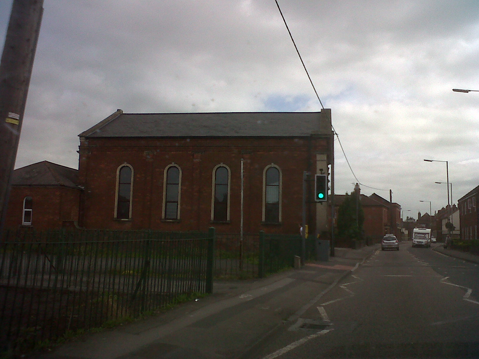
Baptist Church |

Class31 |
Thursday 4th of July 2013 02:47:12 PM |


![[EPW027650] Haynes Road and the town centre, Westbury, 1929](http://britainfromabove.org.uk/sites/all/libraries/aerofilms-images/public/100x100/EPW/027/EPW027650.jpg)
![[EPW027654] Warminster Road and surrounding countryside, Westbury, 1929](http://britainfromabove.org.uk/sites/all/libraries/aerofilms-images/public/100x100/EPW/027/EPW027654.jpg)
![[EPW027645] The town, Westbury, 1929. This image has been produced from a copy-negative.](http://britainfromabove.org.uk/sites/all/libraries/aerofilms-images/public/100x100/EPW/027/EPW027645.jpg)