
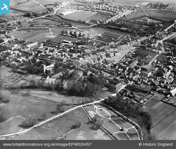
EPW026457 ENGLAND (1929). The High Streert and environs, Biggleswade, 1929
© Hawlfraint cyfranwyr OpenStreetMap a thrwyddedwyd gan yr OpenStreetMap Foundation. 2026. Trwyddedir y gartograffeg fel CC BY-SA.
Delweddau cyfagos (5)
EPW026457

EPW026453

EPW026450

EPW026458

EPW026456

Manylion
| Pennawd | [EPW026457] The High Streert and environs, Biggleswade, 1929 |
| Cyfeirnod | EPW026457 |
| Dyddiad | May-1929 |
| Dolen | |
| Enw lle | BIGGLESWADE |
| Plwyf | BIGGLESWADE |
| Ardal | |
| Gwlad | ENGLAND |
| Dwyreiniad / Gogleddiad | 518867, 244521 |
| Hydred / Lledred | -0.2649688732479, 52.085845176098 |
| Cyfeirnod Grid Cenedlaethol | TL189445 |
Pinnau

John W |
Friday 27th of January 2017 08:25:24 PM | |
|
John W |
Friday 27th of January 2017 08:24:36 PM | |
|
John W |
Friday 27th of January 2017 08:24:10 PM | |
|
John W |
Friday 27th of January 2017 08:23:43 PM |