
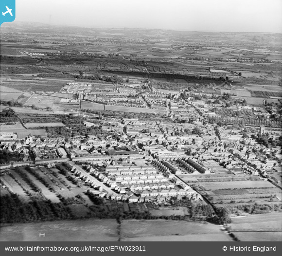
EPW023911 ENGLAND (1928). The town, Evesham, from the west, 1928
© Hawlfraint cyfranwyr OpenStreetMap a thrwyddedwyd gan yr OpenStreetMap Foundation. 2026. Trwyddedir y gartograffeg fel CC BY-SA.
Delweddau cyfagos (6)
EPW023911

EAW006898

EAW006899

EPW023909

EAW006901

EAW006900

Manylion
| Pennawd | [EPW023911] The town, Evesham, from the west, 1928 |
| Cyfeirnod | EPW023911 |
| Dyddiad | September-1928 |
| Dolen | |
| Enw lle | EVESHAM |
| Plwyf | EVESHAM |
| Ardal | |
| Gwlad | ENGLAND |
| Dwyreiniad / Gogleddiad | 403541, 244100 |
| Hydred / Lledred | -1.9483056807787, 52.094817212706 |
| Cyfeirnod Grid Cenedlaethol | SP035441 |
Pinnau

DRS |
Wednesday 28th of October 2020 12:53:23 PM | |
|
DRS |
Wednesday 28th of October 2020 12:52:52 PM | |
|
DRS |
Wednesday 28th of October 2020 12:51:57 PM | |
|
DRS |
Wednesday 28th of October 2020 12:51:12 PM | |
|
DRS |
Monday 29th of June 2020 11:06:55 AM | |
|
DRS |
Monday 29th of June 2020 10:14:14 AM |