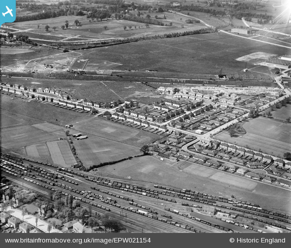
EPW021154 ENGLAND (1928). Acton Housing Estate, Acton, from the south-east, 1928
    © Hawlfraint cyfranwyr OpenStreetMap a thrwyddedwyd gan yr OpenStreetMap Foundation. 2025. Trwyddedir y gartograffeg fel CC BY-SA.
  
Delweddau cyfagos (12)
Manylion
| Pennawd | [EPW021154] Acton Housing Estate, Acton, from the south-east, 1928 | 
| Cyfeirnod | EPW021154 | 
| Dyddiad | May-1928 | 
| Dolen | |
| Enw lle | ACTON | 
| Plwyf | |
| Ardal | |
| Gwlad | ENGLAND | 
| Dwyreiniad / Gogleddiad | 519969, 181291 | 
| Hydred / Lledred | -0.27077758137685, 51.517302864525 | 
| Cyfeirnod Grid Cenedlaethol | TQ200813 | 
Pinnau
|  This factory in Kendal Avenue used to be the Palm toffee factory.  
It was subsequently acquired by the BBC and used as the base for it's Television Outside Broadcast vehicles.
The building has now been demolished and site redeveloped. |   AlanAudio | Wednesday 27th of June 2012 10:49:56 AM | 
 
             
  ![[EPW021154] Acton Housing Estate, Acton, from the south-east, 1928](http://britainfromabove.org.uk/sites/all/libraries/aerofilms-images/public/100x100/EPW/021/EPW021154.jpg) 
  
                                          ![[EPW021149] Acton Housing Estate, Acton, from the south-east, 1928](http://britainfromabove.org.uk/sites/all/libraries/aerofilms-images/public/100x100/EPW/021/EPW021149.jpg) 
 ![[EPW021148] Noel Road and Acton Housing Estate, Acton, 1928](http://britainfromabove.org.uk/sites/all/libraries/aerofilms-images/public/100x100/EPW/021/EPW021148.jpg) 
 ![[EPW021153] Noel Road and Acton Housing Estate, Acton, from the east, 1928](http://britainfromabove.org.uk/sites/all/libraries/aerofilms-images/public/100x100/EPW/021/EPW021153.jpg) 
 ![[EPW020881] Housing development at Noel Road, Acton, 1928](http://britainfromabove.org.uk/sites/all/libraries/aerofilms-images/public/100x100/EPW/020/EPW020881.jpg) 
 ![[EPW021151] Acton Housing Estate and Automobile Works, Acton, 1928](http://britainfromabove.org.uk/sites/all/libraries/aerofilms-images/public/100x100/EPW/021/EPW021151.jpg) 
 ![[EPW020335] Noel Road and Moat Place, Acton, 1928](http://britainfromabove.org.uk/sites/all/libraries/aerofilms-images/public/100x100/EPW/020/EPW020335.jpg) 
 ![[EPW020337] Walton Way, Acton, 1928](http://britainfromabove.org.uk/sites/all/libraries/aerofilms-images/public/100x100/EPW/020/EPW020337.jpg) 
 ![[EPW020880] Housing development at Noel Road, Acton, 1928](http://britainfromabove.org.uk/sites/all/libraries/aerofilms-images/public/100x100/EPW/020/EPW020880.jpg) 
 ![[EPW020334] Norman Way, Acton, 1928](http://britainfromabove.org.uk/sites/all/libraries/aerofilms-images/public/100x100/EPW/020/EPW020334.jpg) 
 ![[EPW020338] Norman Way, Acton, 1928](http://britainfromabove.org.uk/sites/all/libraries/aerofilms-images/public/100x100/EPW/020/EPW020338.jpg)