
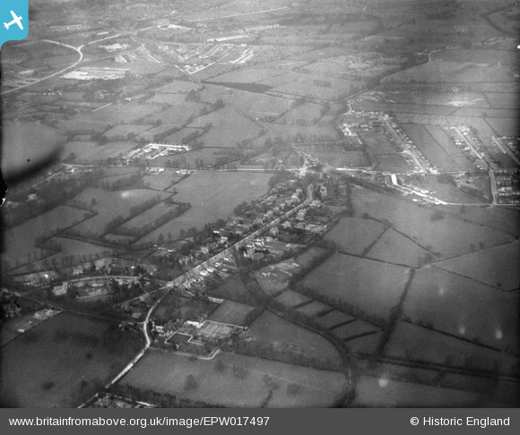
EPW017497 ENGLAND (1927). Countryside between Worcester Park and Raynes Park, Old Malden, 1927
© Hawlfraint cyfranwyr OpenStreetMap a thrwyddedwyd gan yr OpenStreetMap Foundation. 2026. Trwyddedir y gartograffeg fel CC BY-SA.
Delweddau cyfagos (3)
EPW017497

EPW017480

EPW017493

Manylion
| Pennawd | [EPW017497] Countryside between Worcester Park and Raynes Park, Old Malden, 1927 |
| Cyfeirnod | EPW017497 |
| Dyddiad | 23-March-1927 |
| Dolen | |
| Enw lle | OLD MALDEN |
| Plwyf | |
| Ardal | |
| Gwlad | ENGLAND |
| Dwyreiniad / Gogleddiad | 521873, 165984 |
| Hydred / Lledred | -0.24862046688648, 51.379310250127 |
| Cyfeirnod Grid Cenedlaethol | TQ219660 |
Pinnau

Smudger |
Tuesday 16th of April 2024 04:25:22 PM | |
|
Dom |
Wednesday 30th of August 2023 03:27:29 PM | |
|
topsy |
Tuesday 27th of November 2012 10:08:33 PM | |
|
topsy |
Tuesday 27th of November 2012 09:58:09 PM | |

Jeff Wallder |
Monday 8th of October 2012 11:17:32 PM | |

John Ellingham |
Monday 9th of July 2012 08:09:32 PM | |
|
John Ellingham |
Monday 9th of July 2012 08:08:28 PM | |
|
John Ellingham |
Monday 9th of July 2012 08:07:44 PM | |
|
Hubs |
Saturday 30th of June 2012 03:44:59 PM | |
|
Hubs |
Saturday 30th of June 2012 03:43:20 PM | |
|
Hubs |
Saturday 30th of June 2012 03:42:41 PM |