
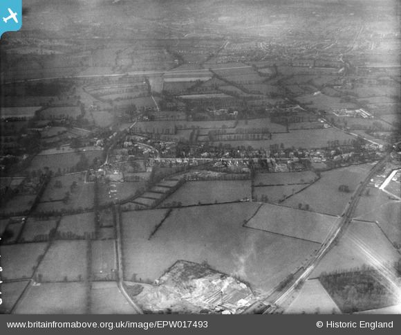
EPW017493 ENGLAND (1927). Countryside between New Malden and Worcester Park, Old Malden, from the south, 1927
© Hawlfraint cyfranwyr OpenStreetMap a thrwyddedwyd gan yr OpenStreetMap Foundation. 2026. Trwyddedir y gartograffeg fel CC BY-SA.
Delweddau cyfagos (3)
EPW017493

EPW017480

EPW017497

Manylion
| Pennawd | [EPW017493] Countryside between New Malden and Worcester Park, Old Malden, from the south, 1927 |
| Cyfeirnod | EPW017493 |
| Dyddiad | 23-March-1927 |
| Dolen | |
| Enw lle | OLD MALDEN |
| Plwyf | |
| Ardal | |
| Gwlad | ENGLAND |
| Dwyreiniad / Gogleddiad | 521642, 165878 |
| Hydred / Lledred | -0.25197470028681, 51.37840702464 |
| Cyfeirnod Grid Cenedlaethol | TQ216659 |
Pinnau

mike |
Thursday 5th of June 2014 10:31:41 PM | |
|
mike |
Thursday 5th of June 2014 10:23:24 PM | |
|
mike |
Thursday 5th of June 2014 10:20:23 PM | |
|
Geoff Smith |
Thursday 20th of December 2012 11:58:44 AM | |
|
Geoff Smith |
Thursday 20th of December 2012 11:57:54 AM | |
|
Andrew Stainer |
Thursday 11th of October 2012 07:57:05 PM | |
|
Andrew Stainer |
Thursday 11th of October 2012 07:56:45 PM | |
|
Andrew Stainer |
Thursday 11th of October 2012 07:56:13 PM | |

Jeff Wallder |
Monday 8th of October 2012 11:03:32 PM | |

John Ellingham |
Monday 9th of July 2012 09:34:42 PM | |
|
John Ellingham |
Monday 9th of July 2012 09:33:12 PM | |
|
John Ellingham |
Monday 9th of July 2012 08:43:41 PM | |
|
John Ellingham |
Monday 9th of July 2012 08:42:59 PM | |
|
Hubs |
Saturday 30th of June 2012 03:47:19 PM | |
|
Hubs |
Saturday 30th of June 2012 03:46:36 PM |