
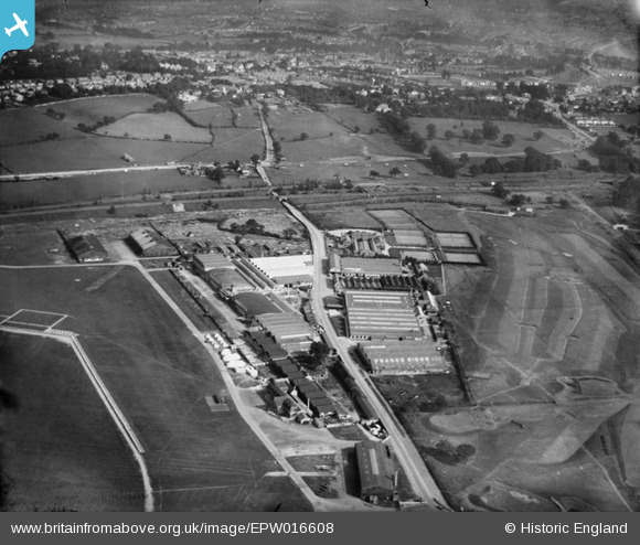
EPW016608 ENGLAND (1926). Factories on the southern side of RAF Hendon, the London Country Club and environs, Hendon, 1926
© Hawlfraint cyfranwyr OpenStreetMap a thrwyddedwyd gan yr OpenStreetMap Foundation. 2026. Trwyddedir y gartograffeg fel CC BY-SA.
Delweddau cyfagos (27)
EPW016608

EPW002008

EPW002008A

EPW006132

EPW016611

EPW000006

EPW000014

EPW000001

EPW000013

EPW000009

EPW016610

EPW002010

EPW009684

EPW002007

EPW000012

EPW000010

EPW002011

EPW016609

EPW016606

EPW007392

EPW016605

EPW016612

EPW016607

EPR000650

EPW008852

EPW006859

EPW008760

Manylion
| Pennawd | [EPW016608] Factories on the southern side of RAF Hendon, the London Country Club and environs, Hendon, 1926 |
| Cyfeirnod | EPW016608 |
| Dyddiad | 26-August-1926 |
| Dolen | |
| Enw lle | HENDON |
| Plwyf | |
| Ardal | |
| Gwlad | ENGLAND |
| Dwyreiniad / Gogleddiad | 521979, 189859 |
| Hydred / Lledred | -0.23884764393684, 51.593883034229 |
| Cyfeirnod Grid Cenedlaethol | TQ220899 |
Pinnau

Brightonboy |
Monday 16th of February 2015 08:31:49 PM | |
|
John G. |
Monday 16th of February 2015 07:51:07 PM | |
|
John G. |
Monday 16th of February 2015 07:49:58 PM | |
|
John G. |
Monday 16th of February 2015 07:48:50 PM | |
|
John G. |
Monday 16th of February 2015 07:47:56 PM | |
|
John G. |
Monday 16th of February 2015 07:46:04 PM | |
|
John G. |
Monday 16th of February 2015 07:45:27 PM |