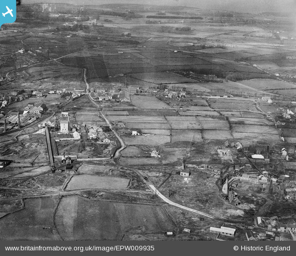
EPW009935 ENGLAND (1924). New Cook's Kitchen Mine and the Rock Drill Works, Redruth, from the south-east, 1924
    © Hawlfraint cyfranwyr OpenStreetMap a thrwyddedwyd gan yr OpenStreetMap Foundation. 2025. Trwyddedir y gartograffeg fel CC BY-SA.
  
Manylion
| Pennawd | [EPW009935] New Cook's Kitchen Mine and the Rock Drill Works, Redruth, from the south-east, 1924 | 
| Cyfeirnod | EPW009935 | 
| Dyddiad | March-1924 | 
| Dolen | |
| Enw lle | REDRUTH | 
| Plwyf | CARN BREA | 
| Ardal | |
| Gwlad | ENGLAND | 
| Dwyreiniad / Gogleddiad | 166664, 40858 | 
| Hydred / Lledred | -5.2714852966898, 50.221003350209 | 
| Cyfeirnod Grid Cenedlaethol | SW667409 | 
Pinnau
|  Former Basset's, later Bartle's foundry. Building still exists, 2018. |   Ritchiet | Thursday 1st of November 2018 06:12:12 PM | 
|  Former Bassets, later Bartles iron foundry. Building still exists, 2018. |   Ritchiet | Thursday 1st of November 2018 05:59:20 PM | 
|  Robinson's shaft. Now Heartlands |   Ritchiet | Wednesday 31st of October 2018 07:48:34 PM | 
 
             
  ![[EPW009935] New Cook's Kitchen Mine and the Rock Drill Works, Redruth, from the south-east, 1924](http://britainfromabove.org.uk/sites/all/libraries/aerofilms-images/public/100x100/EPW/009/EPW009935.jpg) 
  
                                          ![[EAW033642] South Crofty Tin Mine and environs, Brae, from the south-west, 1950](http://britainfromabove.org.uk/sites/all/libraries/aerofilms-images/public/100x100/EAW/033/EAW033642.jpg) 
 ![[EPW059588] South Crofty Tin Mine, Brea, from the south, 1938](http://britainfromabove.org.uk/sites/all/libraries/aerofilms-images/public/100x100/EPW/059/EPW059588.jpg) 
 ![[EPW009938] New Cook's Kitchen Mine and Iron Foundry, Redruth, 1924](http://britainfromabove.org.uk/sites/all/libraries/aerofilms-images/public/100x100/EPW/009/EPW009938.jpg)