
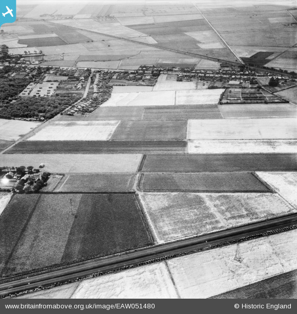
EAW051480 ENGLAND (1953). Scarisbrick (Southport) Road and fields around Pool Hey Lane and Pool Hey House, Pool Hey, 1953
© Hawlfraint cyfranwyr OpenStreetMap a thrwyddedwyd gan yr OpenStreetMap Foundation. 2026. Trwyddedir y gartograffeg fel CC BY-SA.
Delweddau cyfagos (6)
EAW051480
 Road and fields around Pool Hey Lane and Pool Hey House, Pool Hey, 1953")
EAW051473

EAW051472

EAW051471
 Road, Pool Hey Lane and surrounding fields, Pool Hey, 1953")
EAW051479

EAW051468
 Road and fields around Pool Hey Lane and Pool Hey House, Pool Hey, 1953")
Manylion
| Pennawd | [EAW051480] Scarisbrick (Southport) Road and fields around Pool Hey Lane and Pool Hey House, Pool Hey, 1953 |
| Cyfeirnod | EAW051480 |
| Dyddiad | 12-August-1953 |
| Dolen | |
| Enw lle | POOL HEY |
| Plwyf | SCARISBRICK |
| Ardal | |
| Gwlad | ENGLAND |
| Dwyreiniad / Gogleddiad | 336673, 415515 |
| Hydred / Lledred | -2.9577749682188, 53.632090511797 |
| Cyfeirnod Grid Cenedlaethol | SD367155 |
Pinnau
Byddwch y cyntaf i ychwanegu sylw at y ddelwedd hon!