
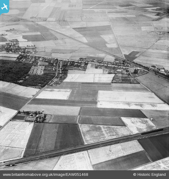
EAW051468 ENGLAND (1953). Scarisbrick (Southport) Road and fields around Pool Hey Lane and Pool Hey House, Pool Hey, 1953
© Hawlfraint cyfranwyr OpenStreetMap a thrwyddedwyd gan yr OpenStreetMap Foundation. 2026. Trwyddedir y gartograffeg fel CC BY-SA.
Delweddau cyfagos (7)
EAW051468
 Road and fields around Pool Hey Lane and Pool Hey House, Pool Hey, 1953")
EAW051470

EAW051476

EAW051473

EAW051480
 Road and fields around Pool Hey Lane and Pool Hey House, Pool Hey, 1953")
EAW051472

EAW051471
 Road, Pool Hey Lane and surrounding fields, Pool Hey, 1953")
Manylion
| Pennawd | [EAW051468] Scarisbrick (Southport) Road and fields around Pool Hey Lane and Pool Hey House, Pool Hey, 1953 |
| Cyfeirnod | EAW051468 |
| Dyddiad | 12-August-1953 |
| Dolen | |
| Enw lle | POOL HEY |
| Plwyf | SCARISBRICK |
| Ardal | |
| Gwlad | ENGLAND |
| Dwyreiniad / Gogleddiad | 336480, 415372 |
| Hydred / Lledred | -2.9606643052597, 53.630781840594 |
| Cyfeirnod Grid Cenedlaethol | SD365154 |
Pinnau

John Howard |
Thursday 22nd of October 2020 05:34:10 PM |