
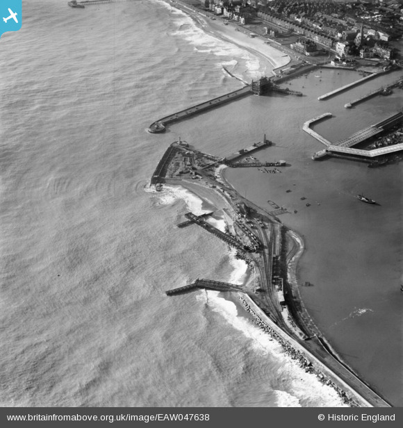
EAW047638 ENGLAND (1952). North Beach and the entrance to the Outer Harbour, Lowestoft, 1952
© Hawlfraint cyfranwyr OpenStreetMap a thrwyddedwyd gan yr OpenStreetMap Foundation. 2026. Trwyddedir y gartograffeg fel CC BY-SA.
Delweddau cyfagos (5)
EAW047638

EAW005064

EAW052980

EAW047642

EAW025476

Manylion
| Pennawd | [EAW047638] North Beach and the entrance to the Outer Harbour, Lowestoft, 1952 |
| Cyfeirnod | EAW047638 |
| Dyddiad | 23-October-1952 |
| Dolen | |
| Enw lle | LOWESTOFT |
| Plwyf | |
| Ardal | |
| Gwlad | ENGLAND |
| Dwyreiniad / Gogleddiad | 655319, 292767 |
| Hydred / Lledred | 1.7598822654146, 52.472635134035 |
| Cyfeirnod Grid Cenedlaethol | TM553928 |
Pinnau

Brightonboy |
Monday 18th of August 2014 08:46:58 PM |