
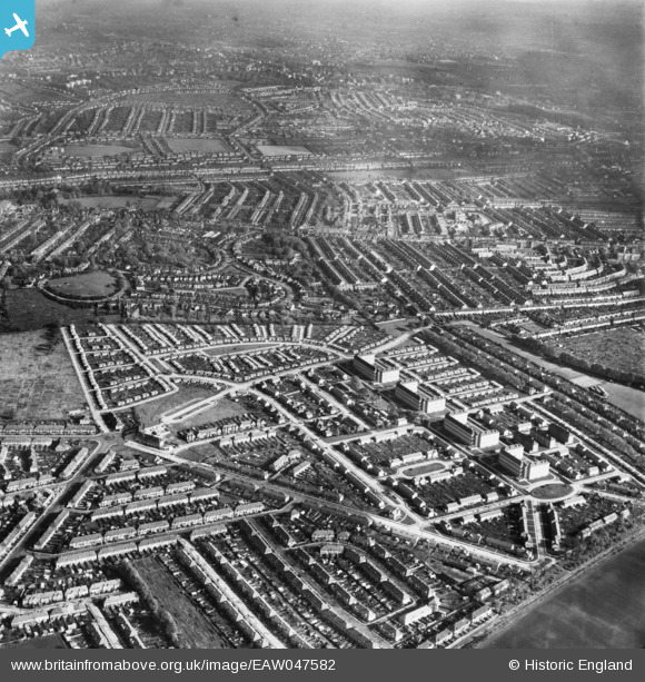
EAW047582 ENGLAND (1952). Pollards Hill, Mitcham, from the south-west, 1952
© Hawlfraint cyfranwyr OpenStreetMap a thrwyddedwyd gan yr OpenStreetMap Foundation. 2026. Trwyddedir y gartograffeg fel CC BY-SA.
Delweddau cyfagos (4)
EAW047582

EAW047581

EAW047580

EAW047579

Manylion
| Pennawd | [EAW047582] Pollards Hill, Mitcham, from the south-west, 1952 |
| Cyfeirnod | EAW047582 |
| Dyddiad | 23-October-1952 |
| Dolen | |
| Enw lle | MITCHAM |
| Plwyf | |
| Ardal | |
| Gwlad | ENGLAND |
| Dwyreiniad / Gogleddiad | 529947, 168140 |
| Hydred / Lledred | -0.13186779971461, 51.39689706117 |
| Cyfeirnod Grid Cenedlaethol | TQ299681 |
