
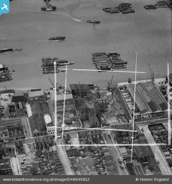
EAW045812 ENGLAND (1952). Wharfage on the River Thames behind West Ferry Road, Millwall, 1952. This image was marked by Aerofilms Ltd for photo editing.
© Hawlfraint cyfranwyr OpenStreetMap a thrwyddedwyd gan yr OpenStreetMap Foundation. 2026. Trwyddedir y gartograffeg fel CC BY-SA.
Delweddau cyfagos (17)
EAW045812

EAW045680

EAW045676

EAW045811

EAW045807

EAW045809

EAW045677

EAW045679

EAW045810

EAW045813

EAW045808

EAW045675

EAW045673

EAW045678

EAW045674

EAW016654

EPW060776

Manylion
| Pennawd | [EAW045812] Wharfage on the River Thames behind West Ferry Road, Millwall, 1952. This image was marked by Aerofilms Ltd for photo editing. |
| Cyfeirnod | EAW045812 |
| Dyddiad | 31-July-1952 |
| Dolen | |
| Enw lle | MILLWALL |
| Plwyf | |
| Ardal | |
| Gwlad | ENGLAND |
| Dwyreiniad / Gogleddiad | 537030, 179740 |
| Hydred / Lledred | -0.025612009113079, 51.49948238018 |
| Cyfeirnod Grid Cenedlaethol | TQ370797 |
Pinnau

moses72 |
Saturday 19th of July 2014 01:04:13 PM | |
|
moses72 |
Saturday 19th of July 2014 01:03:39 PM | |
|
Pete James |
Friday 4th of July 2014 11:55:01 AM | |
|
Pete James |
Friday 4th of July 2014 09:09:07 AM | |
|
Pete James |
Friday 4th of July 2014 09:07:09 AM |