
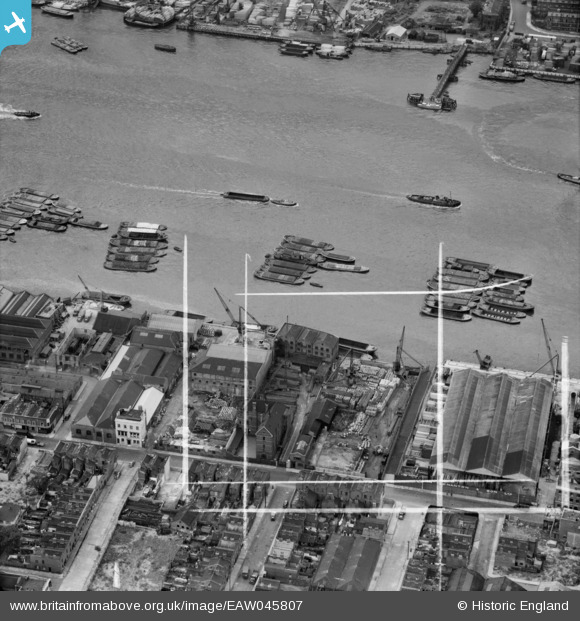
EAW045807 ENGLAND (1952). Wharfage on the River Thames behind West Ferry Road, Millwall, 1952. This image was marked by Aerofilms Ltd for photo editing.
© Hawlfraint cyfranwyr OpenStreetMap a thrwyddedwyd gan yr OpenStreetMap Foundation. 2026. Trwyddedir y gartograffeg fel CC BY-SA.
Delweddau cyfagos (17)
EAW045807

EAW045680

EAW045812

EAW045677

EAW045673

EAW045676

EAW045811

EAW045679

EAW045675

EAW045678

EAW045809

EAW045813

EAW045810

EAW045674

EAW045808

EPW060776

EAW016654

Manylion
| Pennawd | [EAW045807] Wharfage on the River Thames behind West Ferry Road, Millwall, 1952. This image was marked by Aerofilms Ltd for photo editing. |
| Cyfeirnod | EAW045807 |
| Dyddiad | 31-July-1952 |
| Dolen | |
| Enw lle | MILLWALL |
| Plwyf | |
| Ardal | |
| Gwlad | ENGLAND |
| Dwyreiniad / Gogleddiad | 536970, 179711 |
| Hydred / Lledred | -0.026487224331651, 51.499236296912 |
| Cyfeirnod Grid Cenedlaethol | TQ370797 |
Pinnau

Germander Speedwell |
Sunday 11th of November 2018 08:13:17 PM |