
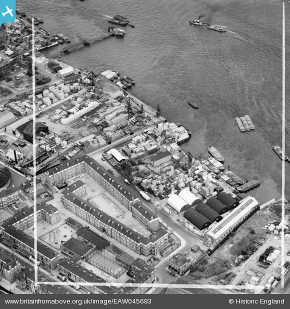
EAW045683 ENGLAND (1952). The Odessa and Redriff Wharves and the Redriff Estate, Rotherhithe, 1952. This image was marked by Aerofilms Ltd for photo editing.
© Hawlfraint cyfranwyr OpenStreetMap a thrwyddedwyd gan yr OpenStreetMap Foundation. 2026. Trwyddedir y gartograffeg fel CC BY-SA.
Delweddau cyfagos (12)
EAW045683

EAW045685

EAW045687

EAW045682

EAW045681

EAW045686

EAW045684

EAW045688

EAW045690

EAW045693

EAW045694

EPR000220

Manylion
| Pennawd | [EAW045683] The Odessa and Redriff Wharves and the Redriff Estate, Rotherhithe, 1952. This image was marked by Aerofilms Ltd for photo editing. |
| Cyfeirnod | EAW045683 |
| Dyddiad | 31-July-1952 |
| Dolen | |
| Enw lle | ROTHERHITHE |
| Plwyf | |
| Ardal | |
| Gwlad | ENGLAND |
| Dwyreiniad / Gogleddiad | 536618, 179510 |
| Hydred / Lledred | -0.031633586808733, 51.497515069713 |
| Cyfeirnod Grid Cenedlaethol | TQ366795 |
Pinnau

Germander Speedwell |
Sunday 11th of November 2018 06:49:40 PM |