
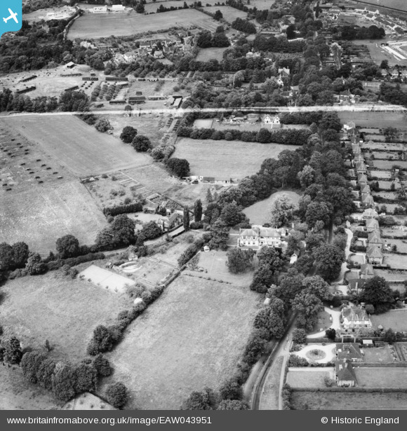
EAW043951 ENGLAND (1952). White House Preparatory School and the surrounding area, Eastheath, 1952. This image was marked by Aerofilms Ltd for photo editing.
© Hawlfraint cyfranwyr OpenStreetMap a thrwyddedwyd gan yr OpenStreetMap Foundation. 2026. Trwyddedir y gartograffeg fel CC BY-SA.
Delweddau cyfagos (7)
EAW043951

EAW043948

EAW043949

EAW043950

EAW043954

EAW043952

EAW043953

Manylion
| Pennawd | [EAW043951] White House Preparatory School and the surrounding area, Eastheath, 1952. This image was marked by Aerofilms Ltd for photo editing. |
| Cyfeirnod | EAW043951 |
| Dyddiad | 10-June-1952 |
| Dolen | |
| Enw lle | EASTHEATH |
| Plwyf | WOKINGHAM |
| Ardal | |
| Gwlad | ENGLAND |
| Dwyreiniad / Gogleddiad | 480436, 167093 |
| Hydred / Lledred | -0.84367699625567, 51.396667494897 |
| Cyfeirnod Grid Cenedlaethol | SU804671 |
Pinnau
Byddwch y cyntaf i ychwanegu sylw at y ddelwedd hon!