
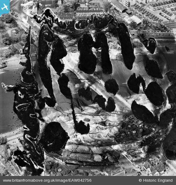
EAW042756 ENGLAND (1952). Kew Bridge (site of), Kew, 1952. This image has been produced from a damaged negative.
© Hawlfraint cyfranwyr OpenStreetMap a thrwyddedwyd gan yr OpenStreetMap Foundation. 2026. Trwyddedir y gartograffeg fel CC BY-SA.
Delweddau cyfagos (9)
EAW042756
, Kew, 1952. This image has been produced from a damaged negative.")
EPW057062

EAW042755

EPW059940

EPW022565

EPW059344

EPW001717

EPW001669

EPW059343

Manylion
| Pennawd | [EAW042756] Kew Bridge (site of), Kew, 1952. This image has been produced from a damaged negative. |
| Cyfeirnod | EAW042756 |
| Dyddiad | 29-April-1952 |
| Dolen | |
| Enw lle | KEW |
| Plwyf | |
| Ardal | |
| Gwlad | ENGLAND |
| Dwyreiniad / Gogleddiad | 518995, 177819 |
| Hydred / Lledred | -0.28598140961451, 51.486300939295 |
| Cyfeirnod Grid Cenedlaethol | TQ190778 |
