
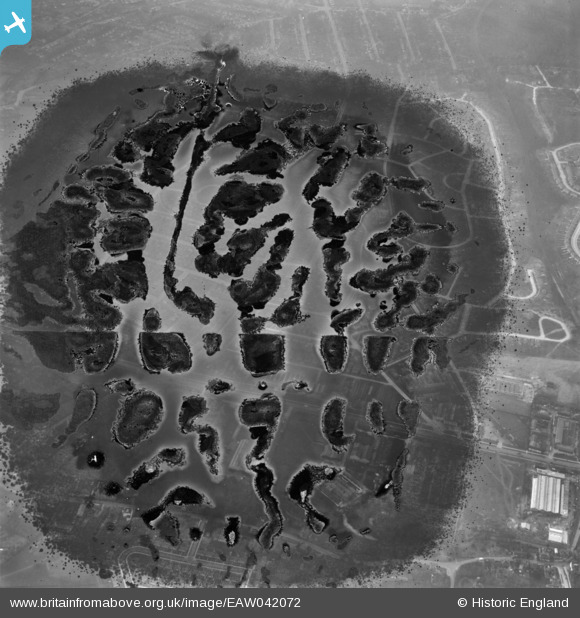
EAW042072 ENGLAND (1952). Housing estates at Poverest (site of), Orpington, 1952. This image has been produced from a damaged negative.
© Hawlfraint cyfranwyr OpenStreetMap a thrwyddedwyd gan yr OpenStreetMap Foundation. 2026. Trwyddedir y gartograffeg fel CC BY-SA.
Delweddau cyfagos (3)
EAW042072
, Orpington, 1952. This image has been produced from a damaged negative.")
EAW042068

EAW042066

Manylion
| Pennawd | [EAW042072] Housing estates at Poverest (site of), Orpington, 1952. This image has been produced from a damaged negative. |
| Cyfeirnod | EAW042072 |
| Dyddiad | March-1952 |
| Dolen | |
| Enw lle | ORPINGTON |
| Plwyf | |
| Ardal | |
| Gwlad | ENGLAND |
| Dwyreiniad / Gogleddiad | 546601, 167753 |
| Hydred / Lledred | 0.10722796120161, 51.389359760873 |
| Cyfeirnod Grid Cenedlaethol | TQ466678 |
Pinnau
Byddwch y cyntaf i ychwanegu sylw at y ddelwedd hon!