
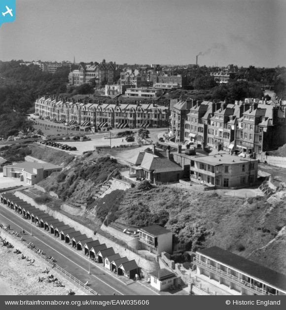
EAW035606 ENGLAND (1951). The Marina and environs, Boscombe, from the south-east, 1951. This image has been produced from a print.
© Hawlfraint cyfranwyr OpenStreetMap a thrwyddedwyd gan yr OpenStreetMap Foundation. 2026. Trwyddedir y gartograffeg fel CC BY-SA.
Delweddau cyfagos (15)
EAW035606

EPW013559

EPR000665

EPR000287

EPW013565

EPW041051

EPW037435

EPW018169

EPR000668

EAW035604

EAW049058

EPR000669

EPW037436

EPR000288

EPW013550

Manylion
| Pennawd | [EAW035606] The Marina and environs, Boscombe, from the south-east, 1951. This image has been produced from a print. |
| Cyfeirnod | EAW035606 |
| Dyddiad | 25-April-1951 |
| Dolen | |
| Enw lle | BOSCOMBE |
| Plwyf | |
| Ardal | |
| Gwlad | ENGLAND |
| Dwyreiniad / Gogleddiad | 411310, 91185 |
| Hydred / Lledred | -1.8397674142305, 50.719607296177 |
| Cyfeirnod Grid Cenedlaethol | SZ113912 |
Pinnau
Byddwch y cyntaf i ychwanegu sylw at y ddelwedd hon!