
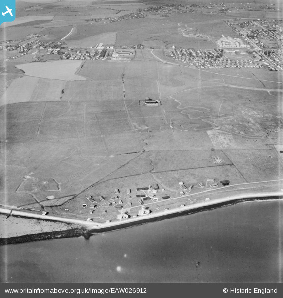
EAW026912 ENGLAND (1949). Gas Holder Station and the southern shore of the island, Canvey Island, 1949
© Hawlfraint cyfranwyr OpenStreetMap a thrwyddedwyd gan yr OpenStreetMap Foundation. 2026. Trwyddedir y gartograffeg fel CC BY-SA.
Delweddau cyfagos (3)
EAW026912

EAW051020

EAW026911

Manylion
| Pennawd | [EAW026912] Gas Holder Station and the southern shore of the island, Canvey Island, 1949 |
| Cyfeirnod | EAW026912 |
| Dyddiad | 2-October-1949 |
| Dolen | |
| Enw lle | CANVEY ISLAND |
| Plwyf | CANVEY ISLAND |
| Ardal | |
| Gwlad | ENGLAND |
| Dwyreiniad / Gogleddiad | 578710, 182266 |
| Hydred / Lledred | 0.57563523071584, 51.510534719867 |
| Cyfeirnod Grid Cenedlaethol | TQ787823 |
Pinnau

redmist |
Monday 30th of January 2023 08:51:53 PM | |
|
redmist |
Sunday 29th of January 2023 09:24:10 AM | |
|
redmist |
Sunday 29th of January 2023 09:20:34 AM | |
|
redmist |
Sunday 29th of January 2023 09:20:09 AM | |
|
redmist |
Sunday 29th of January 2023 09:19:01 AM | |
|
Al |
Tuesday 31st of October 2017 10:28:44 AM | |
|
Al |
Tuesday 31st of October 2017 10:28:12 AM |