
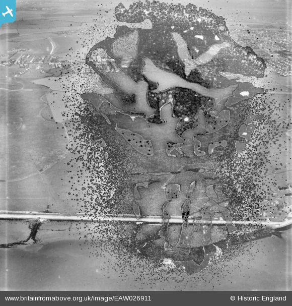
EAW026911 ENGLAND (1949). The southern shore of the island, Canvey Island, 1949. This image has been produced from a damaged negative.
© Hawlfraint cyfranwyr OpenStreetMap a thrwyddedwyd gan yr OpenStreetMap Foundation. 2026. Trwyddedir y gartograffeg fel CC BY-SA.
Delweddau cyfagos (3)
EAW026911

EAW051020

EAW026912

Manylion
| Pennawd | [EAW026911] The southern shore of the island, Canvey Island, 1949. This image has been produced from a damaged negative. |
| Cyfeirnod | EAW026911 |
| Dyddiad | 2-October-1949 |
| Dolen | |
| Enw lle | CANVEY ISLAND |
| Plwyf | CANVEY ISLAND |
| Ardal | |
| Gwlad | ENGLAND |
| Dwyreiniad / Gogleddiad | 578485, 182125 |
| Hydred / Lledred | 0.57232458309604, 51.509339181038 |
| Cyfeirnod Grid Cenedlaethol | TQ785821 |
