
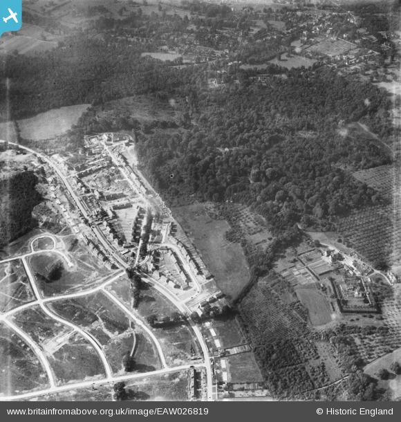
EAW026819 ENGLAND (1949). Housing estate under construction at St Paul's Cray alongside Park Wood, Bromley, 1949
© Hawlfraint cyfranwyr OpenStreetMap a thrwyddedwyd gan yr OpenStreetMap Foundation. 2026. Trwyddedir y gartograffeg fel CC BY-SA.
Delweddau cyfagos (3)
EAW026819

EAW020728

EAW026818

Manylion
| Pennawd | [EAW026819] Housing estate under construction at St Paul's Cray alongside Park Wood, Bromley, 1949 |
| Cyfeirnod | EAW026819 |
| Dyddiad | 3-October-1949 |
| Dolen | |
| Enw lle | BROMLEY |
| Plwyf | |
| Ardal | |
| Gwlad | ENGLAND |
| Dwyreiniad / Gogleddiad | 545641, 169751 |
| Hydred / Lledred | 0.09425909731436, 51.407562325351 |
| Cyfeirnod Grid Cenedlaethol | TQ456698 |
Pinnau

Matt Aldred edob.mattaldred.com |
Thursday 8th of May 2025 02:25:12 PM |