
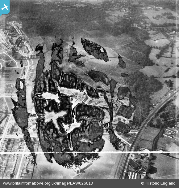
EAW026813 ENGLAND (1949). Housing estate under construction at St Paul's Cray, Bromley, 1949. This image has been produced from a damaged negative.
© Hawlfraint cyfranwyr OpenStreetMap a thrwyddedwyd gan yr OpenStreetMap Foundation. 2026. Trwyddedir y gartograffeg fel CC BY-SA.
Delweddau cyfagos (2)
EAW026813

EAW021755

Manylion
| Pennawd | [EAW026813] Housing estate under construction at St Paul's Cray, Bromley, 1949. This image has been produced from a damaged negative. |
| Cyfeirnod | EAW026813 |
| Dyddiad | 3-October-1949 |
| Dolen | |
| Enw lle | BROMLEY |
| Plwyf | |
| Ardal | |
| Gwlad | ENGLAND |
| Dwyreiniad / Gogleddiad | 546376, 170222 |
| Hydred / Lledred | 0.10501489462812, 51.411605738112 |
| Cyfeirnod Grid Cenedlaethol | TQ464702 |
Pinnau
Byddwch y cyntaf i ychwanegu sylw at y ddelwedd hon!