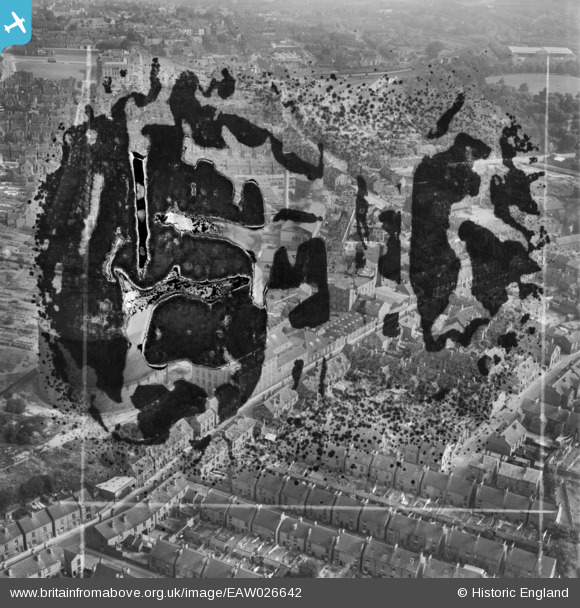
EAW026642 ENGLAND (1949). Factories and houses along Chester Street, Chesterfield, 1949. This image has been produced from a damaged negative.
    © Hawlfraint cyfranwyr OpenStreetMap a thrwyddedwyd gan yr OpenStreetMap Foundation. 2025. Trwyddedir y gartograffeg fel CC BY-SA.
  
Manylion
| Pennawd | [EAW026642] Factories and houses along Chester Street, Chesterfield, 1949. This image has been produced from a damaged negative. | 
| Cyfeirnod | EAW026642 | 
| Dyddiad | 19-October-1949 | 
| Dolen | |
| Enw lle | CHESTERFIELD | 
| Plwyf | |
| Ardal | |
| Gwlad | ENGLAND | 
| Dwyreiniad / Gogleddiad | 437460, 371223 | 
| Hydred / Lledred | -1.4386875731553, 53.236434950242 | 
| Cyfeirnod Grid Cenedlaethol | SK375712 | 
Pinnau
Byddwch y cyntaf i ychwanegu sylw at y ddelwedd hon!
 
             
  ![[EAW026642] Factories and houses along Chester Street, Chesterfield, 1949. This image has been produced from a damaged negative.](http://britainfromabove.org.uk/sites/all/libraries/aerofilms-images/public/100x100/EAW/026/EAW026642.jpg) 
  
                                          ![[EAW026643] The Chester Street Gas Works and environs, Chesterfield, 1949. This image has been produced from a print marked by Aerofilms Ltd for photo editing.](http://britainfromabove.org.uk/sites/all/libraries/aerofilms-images/public/100x100/EAW/026/EAW026643.jpg) 
 ![[EAW026646] Wheatbridge Mills and environs, Chesterfield, 1949. This image has been produced from a print marked by Aerofilms Ltd for photo editing.](http://britainfromabove.org.uk/sites/all/libraries/aerofilms-images/public/100x100/EAW/026/EAW026646.jpg) 
 ![[EAW026644] Chatsworth Road, Wheatbridge Mills, Queen's Park and environs, Chesterfield, 1949. This image has been produced from a print marked by Aerofilms Ltd for photo editing.](http://britainfromabove.org.uk/sites/all/libraries/aerofilms-images/public/100x100/EAW/026/EAW026644.jpg)