
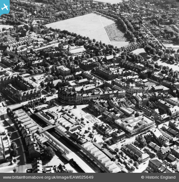
EAW025649 ENGLAND (1949). Station Square, part of the Stray or Two Hundred Acre and environs, Harrogate, 1949. This image has been produced from a print.
© Hawlfraint cyfranwyr OpenStreetMap a thrwyddedwyd gan yr OpenStreetMap Foundation. 2026. Trwyddedir y gartograffeg fel CC BY-SA.
Delweddau cyfagos (12)
EAW025649

EAW025651

EPW015798

EAW025655

EPW015799

EPW015801

EPW016250

EPW016246

EPW023552

EPW043174

EPW043175

EPW043176

Manylion
| Pennawd | [EAW025649] Station Square, part of the Stray or Two Hundred Acre and environs, Harrogate, 1949. This image has been produced from a print. |
| Cyfeirnod | EAW025649 |
| Dyddiad | 3-August-1949 |
| Dolen | |
| Enw lle | HARROGATE |
| Plwyf | |
| Ardal | |
| Gwlad | ENGLAND |
| Dwyreiniad / Gogleddiad | 430328, 455196 |
| Hydred / Lledred | -1.5373726213723, 53.991723682762 |
| Cyfeirnod Grid Cenedlaethol | SE303552 |
Pinnau
Byddwch y cyntaf i ychwanegu sylw at y ddelwedd hon!