
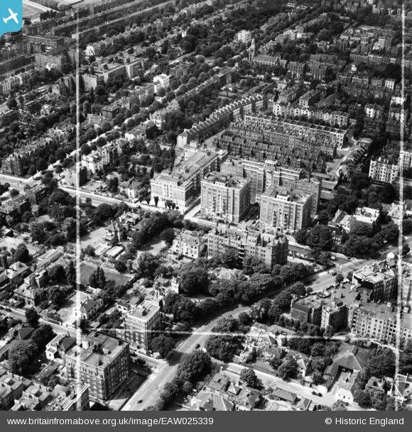
EAW025339 ENGLAND (1949). Grove Hall Court, St John's Wood, 1949. This image was marked by Aerofilms Ltd for photo editing.
© Hawlfraint cyfranwyr OpenStreetMap a thrwyddedwyd gan yr OpenStreetMap Foundation. 2026. Trwyddedir y gartograffeg fel CC BY-SA.
Delweddau cyfagos (10)
EAW025339

EAW025334

EAW025337

EAW025335

EAW025338

EAW025333

EAW025336

EPW045411

EAW018356

EAW021740

Manylion
| Pennawd | [EAW025339] Grove Hall Court, St John's Wood, 1949. This image was marked by Aerofilms Ltd for photo editing. |
| Cyfeirnod | EAW025339 |
| Dyddiad | 22-July-1949 |
| Dolen | |
| Enw lle | ST JOHN'S WOOD |
| Plwyf | |
| Ardal | |
| Gwlad | ENGLAND |
| Dwyreiniad / Gogleddiad | 526471, 182816 |
| Hydred / Lledred | -0.17656053111886, 51.529590913754 |
| Cyfeirnod Grid Cenedlaethol | TQ265828 |
