
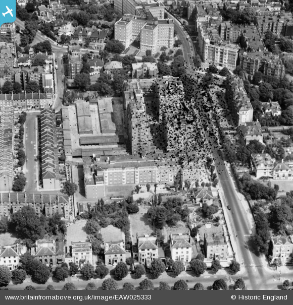
EAW025333 ENGLAND (1949). Grove Hall Court, St John's Wood, 1949. This image has been produced from a damaged negative.
© Hawlfraint cyfranwyr OpenStreetMap a thrwyddedwyd gan yr OpenStreetMap Foundation. 2026. Trwyddedir y gartograffeg fel CC BY-SA.
Delweddau cyfagos (10)
EAW025333

EAW025338

EAW025336

EAW025334

EAW025339

EAW025335

EAW025337

EPW045411

EAW018356

EAW021740

Manylion
| Pennawd | [EAW025333] Grove Hall Court, St John's Wood, 1949. This image has been produced from a damaged negative. |
| Cyfeirnod | EAW025333 |
| Dyddiad | 22-July-1949 |
| Dolen | |
| Enw lle | ST JOHN'S WOOD |
| Plwyf | |
| Ardal | |
| Gwlad | ENGLAND |
| Dwyreiniad / Gogleddiad | 526444, 182843 |
| Hydred / Lledred | -0.17693990529803, 51.52983963523 |
| Cyfeirnod Grid Cenedlaethol | TQ264828 |
