
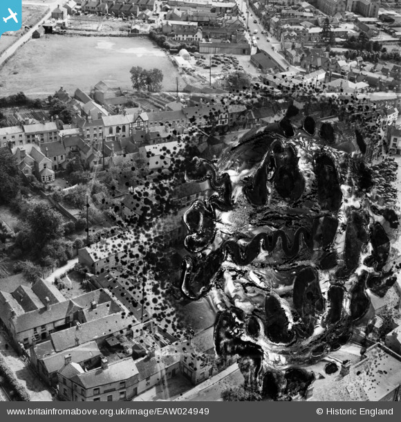
EAW024949 ENGLAND (1949). Town Hall Yard and the Market Place (site of), Ashbourne, 1949. This image has been produced from a damaged negative.
© Hawlfraint cyfranwyr OpenStreetMap a thrwyddedwyd gan yr OpenStreetMap Foundation. 2026. Trwyddedir y gartograffeg fel CC BY-SA.
Delweddau cyfagos (10)
EAW024949
, Ashbourne, 1949. This image has been produced from a damaged negative.")
EAW024950

EAW024946

EAW024945

EAW024944

EAW024952

EAW024947

EAW024948

EAW024951

EAW024953

Manylion
| Pennawd | [EAW024949] Town Hall Yard and the Market Place (site of), Ashbourne, 1949. This image has been produced from a damaged negative. |
| Cyfeirnod | EAW024949 |
| Dyddiad | 21-July-1949 |
| Dolen | |
| Enw lle | ASHBOURNE |
| Plwyf | ASHBOURNE |
| Ardal | |
| Gwlad | ENGLAND |
| Dwyreiniad / Gogleddiad | 418089, 346841 |
| Hydred / Lledred | -1.7303189514145, 53.018255985819 |
| Cyfeirnod Grid Cenedlaethol | SK181468 |
Pinnau
Byddwch y cyntaf i ychwanegu sylw at y ddelwedd hon!