
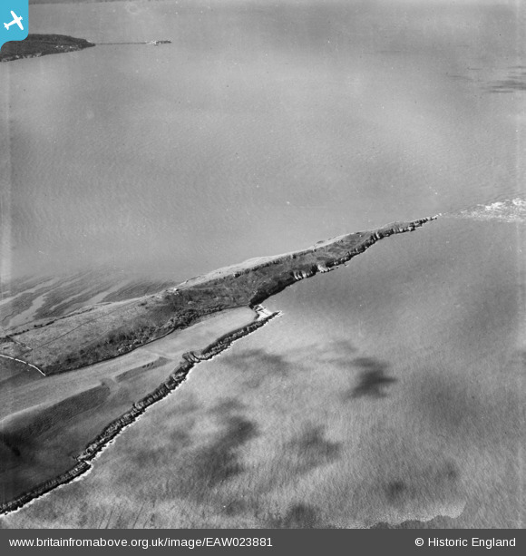
EAW023881 ENGLAND (1949). Middle Hope, Kewstoke, 1949
© Hawlfraint cyfranwyr OpenStreetMap a thrwyddedwyd gan yr OpenStreetMap Foundation. 2026. Trwyddedir y gartograffeg fel CC BY-SA.
Delweddau cyfagos (2)
EAW023881

EAW023880

Manylion
| Pennawd | [EAW023881] Middle Hope, Kewstoke, 1949 |
| Cyfeirnod | EAW023881 |
| Dyddiad | 14-June-1949 |
| Dolen | |
| Enw lle | KEWSTOKE |
| Plwyf | KEWSTOKE |
| Ardal | |
| Gwlad | ENGLAND |
| Dwyreiniad / Gogleddiad | 332434, 166012 |
| Hydred / Lledred | -2.9711333346321, 51.388627075276 |
| Cyfeirnod Grid Cenedlaethol | ST324660 |
Pinnau

Matt Aldred edob.mattaldred.com |
Monday 21st of March 2022 01:48:48 PM |