
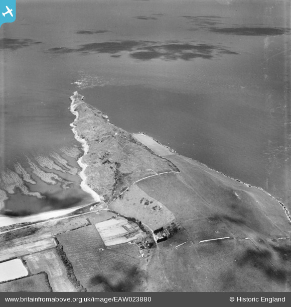
EAW023880 ENGLAND (1949). Middle Hope, Kewstoke, 1949
© Hawlfraint cyfranwyr OpenStreetMap a thrwyddedwyd gan yr OpenStreetMap Foundation. 2026. Trwyddedir y gartograffeg fel CC BY-SA.
Delweddau cyfagos (2)
EAW023880

EAW023881

Manylion
| Pennawd | [EAW023880] Middle Hope, Kewstoke, 1949 |
| Cyfeirnod | EAW023880 |
| Dyddiad | 14-June-1949 |
| Dolen | |
| Enw lle | KEWSTOKE |
| Plwyf | KEWSTOKE |
| Ardal | |
| Gwlad | ENGLAND |
| Dwyreiniad / Gogleddiad | 332645, 166104 |
| Hydred / Lledred | -2.9681185329007, 51.389479373365 |
| Cyfeirnod Grid Cenedlaethol | ST326661 |
Pinnau

Matt Aldred edob.mattaldred.com |
Monday 21st of March 2022 01:48:38 PM |